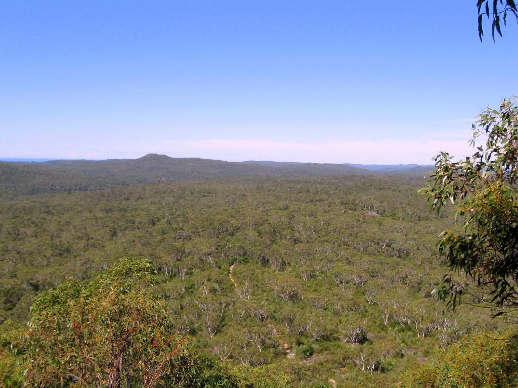
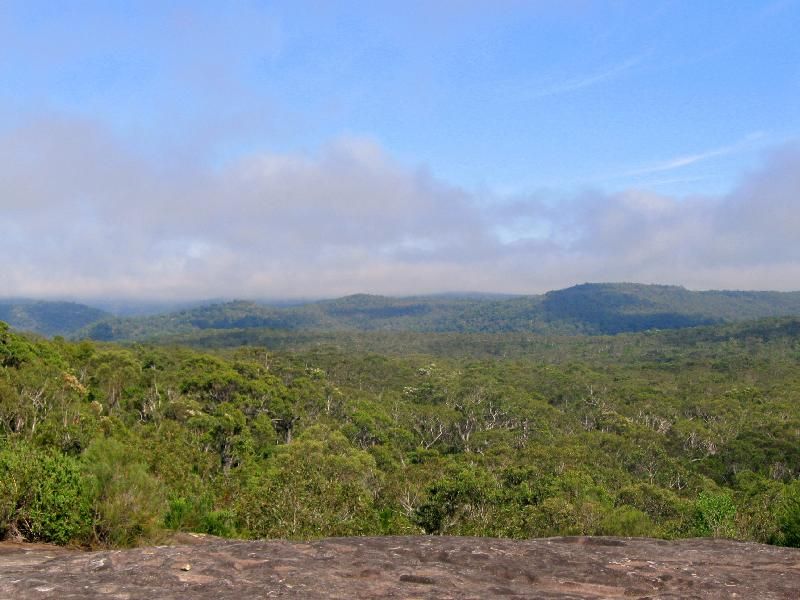
A great morning.
K.


kanangra wrote:Mate I did. Isn't that the most amazing view? It just seems to sit there suspended in the air in the middle of the wilderness.


forest wrote:What tracks did you take to loop around to the scout camp.


forest wrote:I have seen that track multiple times and wondered where it ended up, Now I know, cool. So you guys just return after via a loop on Tommos Loop trail (where it crosses the GNW just after Kariong Brook), Woy Woy Rd Fire Trail, Then down into the Scout Camp ??
Quick look and it's a nice little 17.6km loop if that's the route.


kanangra wrote:Yes if you take the rough road that follows the power lines and which runs parallel to the highway you avoid all but a few hundred metres of the highway.
K.

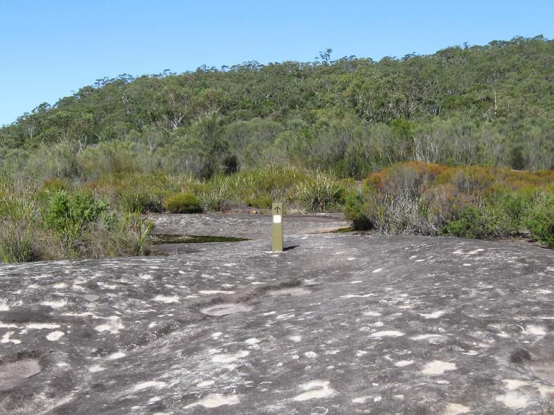
kanangra wrote:How about those large open rock platforms that must be the size of a football field. With pockets of moss and small shrubs they are just magic.
K.

kanangra wrote:Shame in a way they've posted GNW signs every 30m or so through some of them. Is it really necessary to have those signs stuck in the rock?
K.


Rob Gosford wrote:its a wonderful walk south from Girrakool picnic area to Scopas and then on to Kariong Brook waterfall finishing at Staples Lookout on Woy Woy Rd. For those who haven't, then you must.......

Return to New South Wales & ACT
Users browsing this forum: No registered users and 51 guests