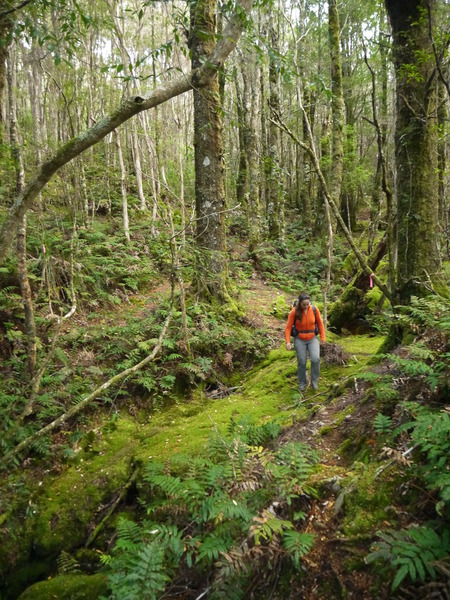
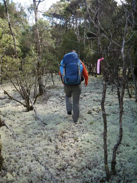
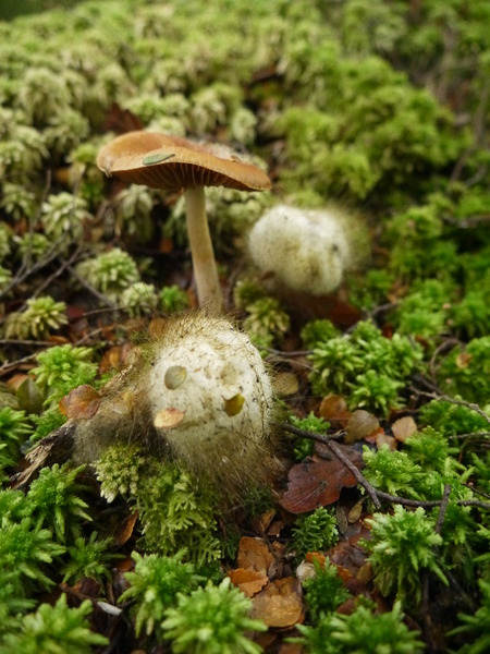
Did the Rattler Range traverse as a two day return walk from Ralph Falls after finding the track by random luck while wandering around and finding the track so beautiful. It was a great experience, it is truly a magnificent walk and we loved it, thank you very much for waymarking it, it is quite easy to follow for someone who never heard about it before.
We got lost a bit on the plateau after climbing back from Dobsons creek as we saw a pink ribbon lower on the slope and followed that line of pink for about 300 meters before realising it was another route going down the range and back in the direction to the creek. Another place where it was confusing was after Elfin Glade when you reach the old vehicle track destroyed by the trail bikes, the pink ribbons continue to the right (and down) but you have to go left (no ribbons) and 150 meters later you reach a newly cleared track to bypass the 4WD bog, after that we had no trouble.
The track is about 12 kilometers long and has ~600 meters of elevation gain and ~600 meters of elevation loss. You don't really see it or feel it while walking as it seems quite flat most of the way, but you feel it in your knees at the end of the day

The signposted 6-7 hours from start to end is accurate, took 7 hours on the way in (including lunch and lots of photos in the forest) and 6 hours on the way back. Good camping spots around Cascade river headwaters on the plateau.
Very nice place indeed, I hope I can come back one day to do the complete 7 days walk

I'm attaching the GPS trace (way back) if anyone is interested, please note that it doesn't include the 4WD bog bypass, as we walked through the vehicle track on the way back (it was mostly dry), so that I could map it later.


