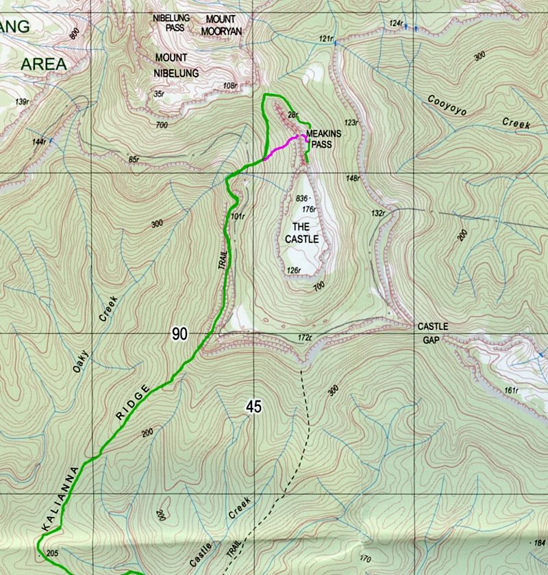
The Castle
There are several Castles known to bushwalkers. There are several posts for each of the different Castles here on the Forum.
Posts about places like Castle Mountain, Cardboard Castle hut, Ruined Castle, Hoddle's Castle Hill, Castle Crags, Castle Rock, Castle Forbes Bay, Rat's Castle and Eldon's Castle amongst others. There are several walkers who have mentioned that they are looking forward to climbing or visiting one of these Castles at some stage and many walkers here who have ... but I can't find a single image of 'The Castle' here on the Forum. Wanting to correct that oversight, enjoy a trip to 'The Castle' ... in the Budawangs.
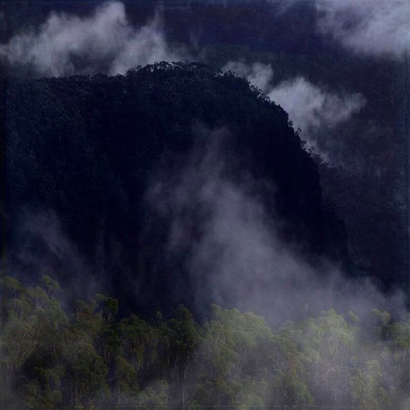
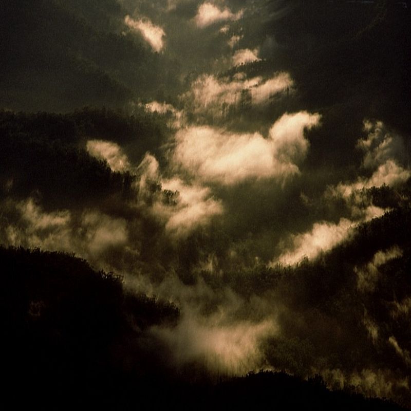
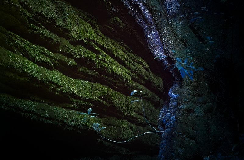
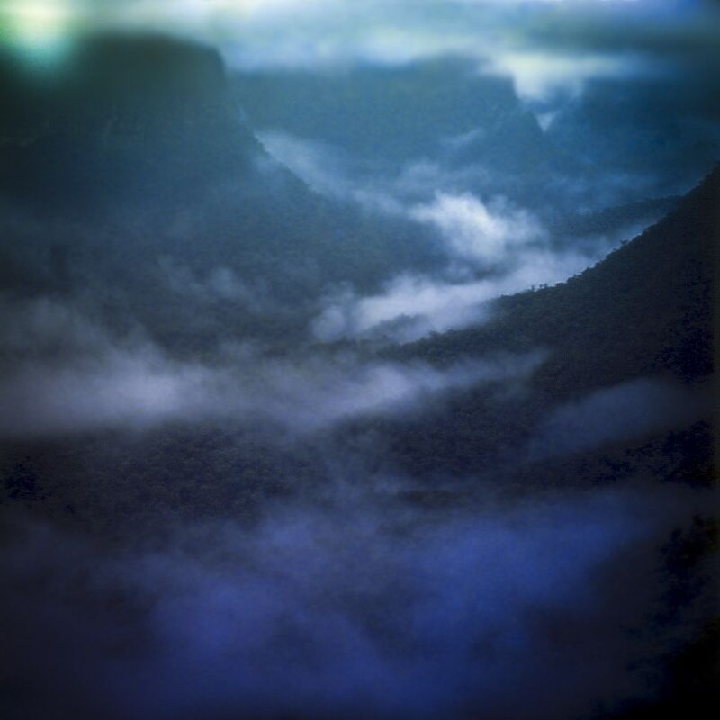
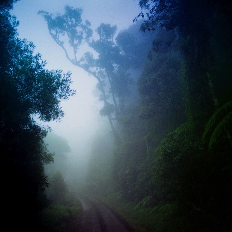
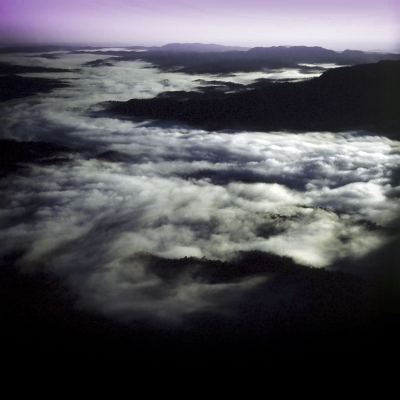
'Low Clouds'. There are several approaches to The Castle, each has a different character. I particularly like the Southern approaches because of the smell of the pockets of rainforest found on the drive in to the Yadboro campsite.
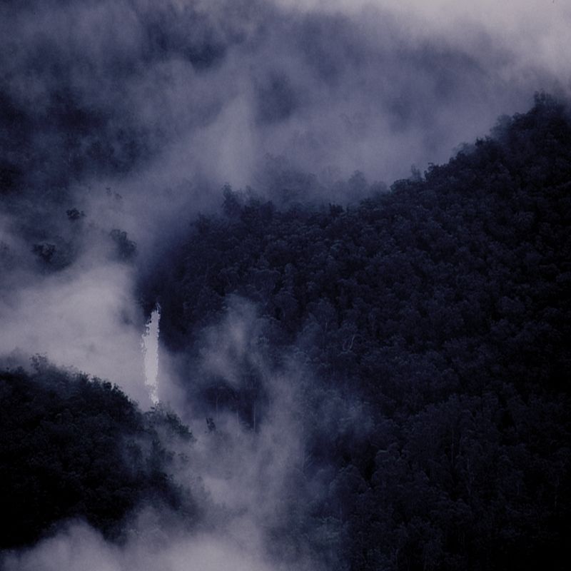
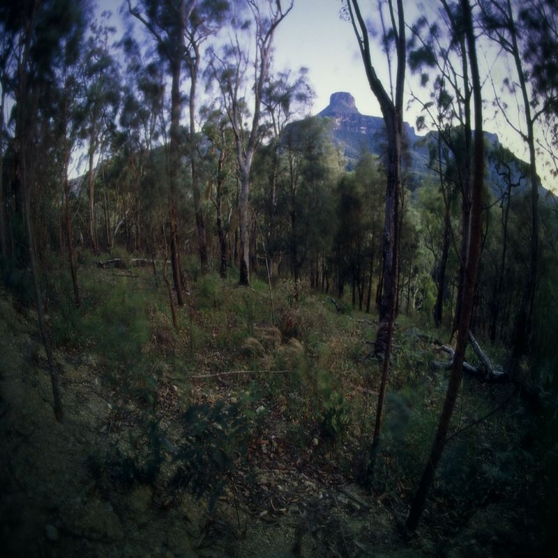
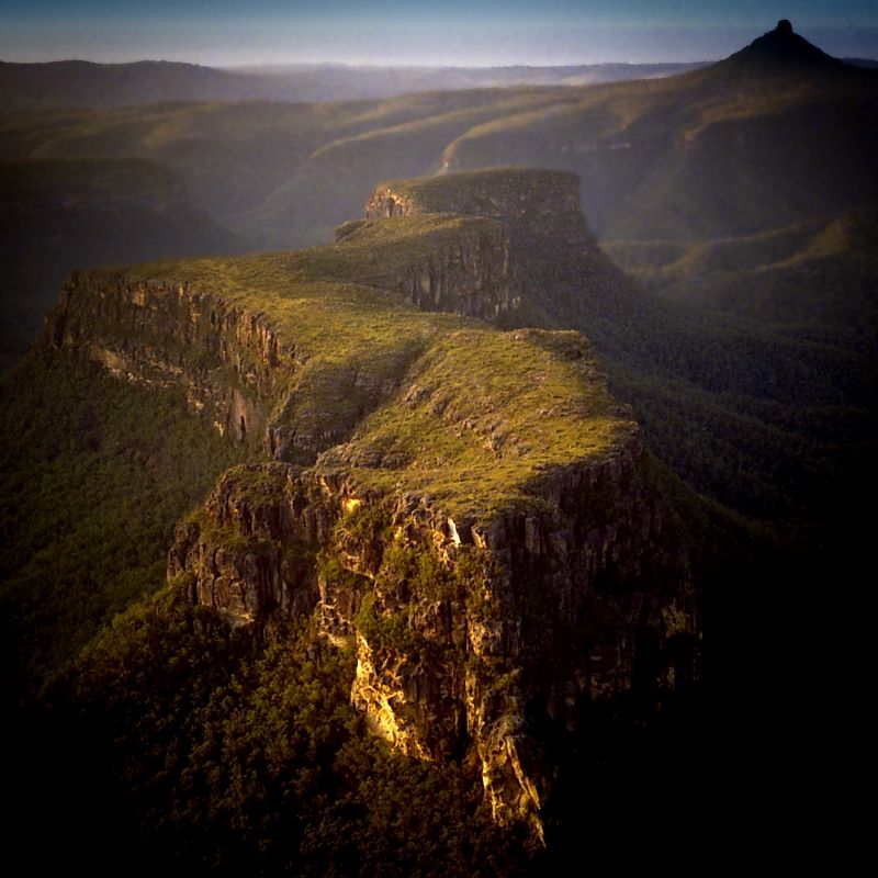
Every now and again, glimpses of The Castle and the escarpment can be seen on the drive in.
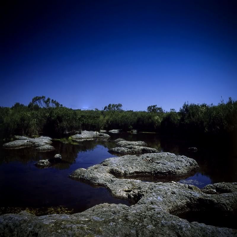
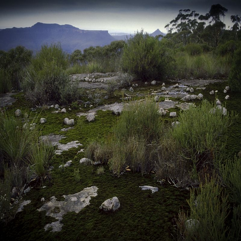
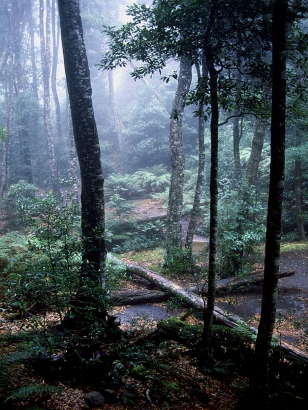
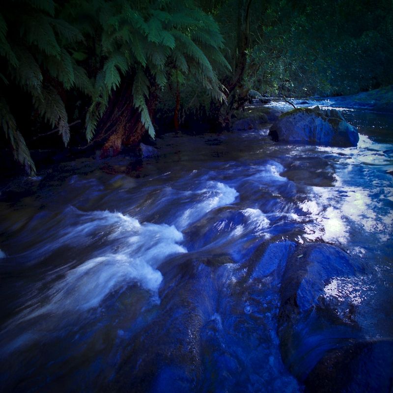
The pristine Yadboro River down stream from the start of the Kaliana Ridge climb and just beside the Yadboro River campsite. The Yadboro is a classic river, it has been known to rise 10 metres in 4 hours and go from several metres wide to 400 metres wide at the Yadboro campsite. I always park my car a bit up-hill. When the Yadboro floods it recedes as quickly as it can rise ... once it stops raining. I always take an extra day's food, even on a day walk.
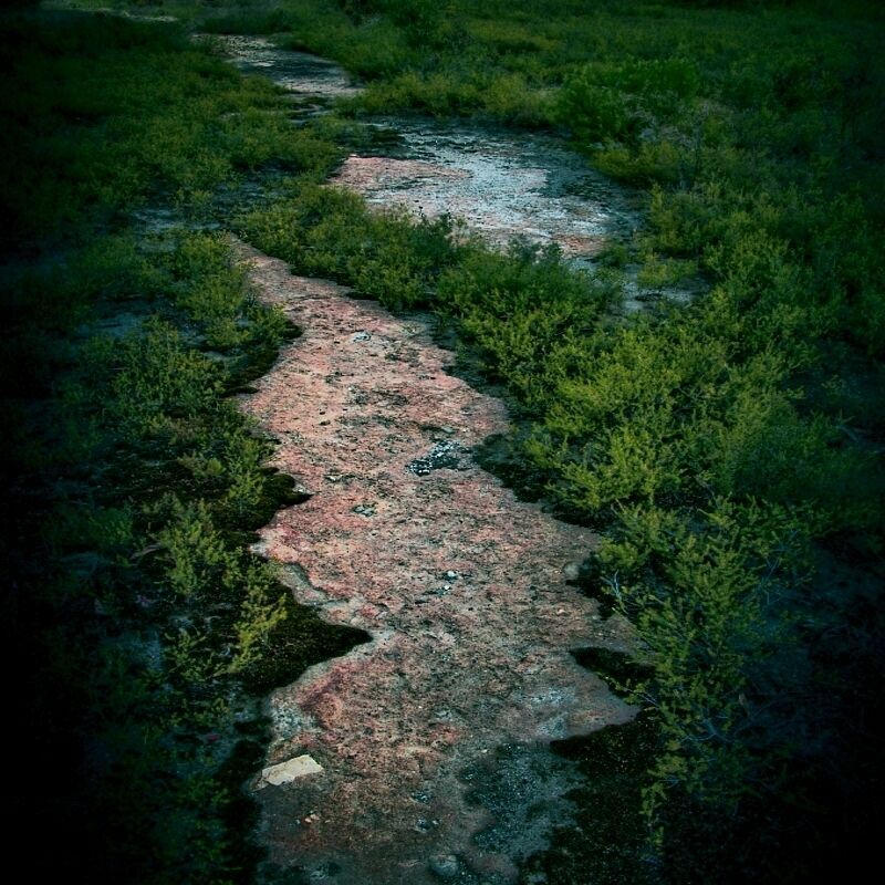
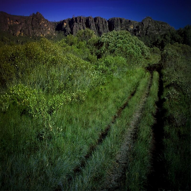
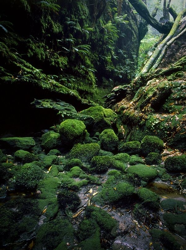
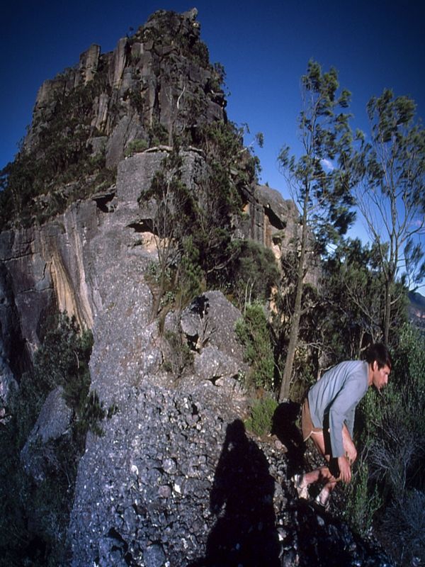
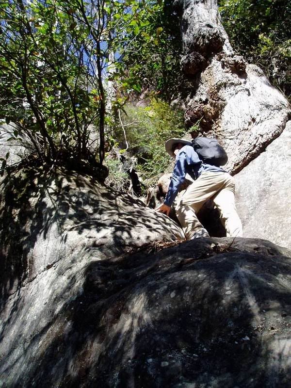
At the top of Kaliana Ridge and the first of the climbs.
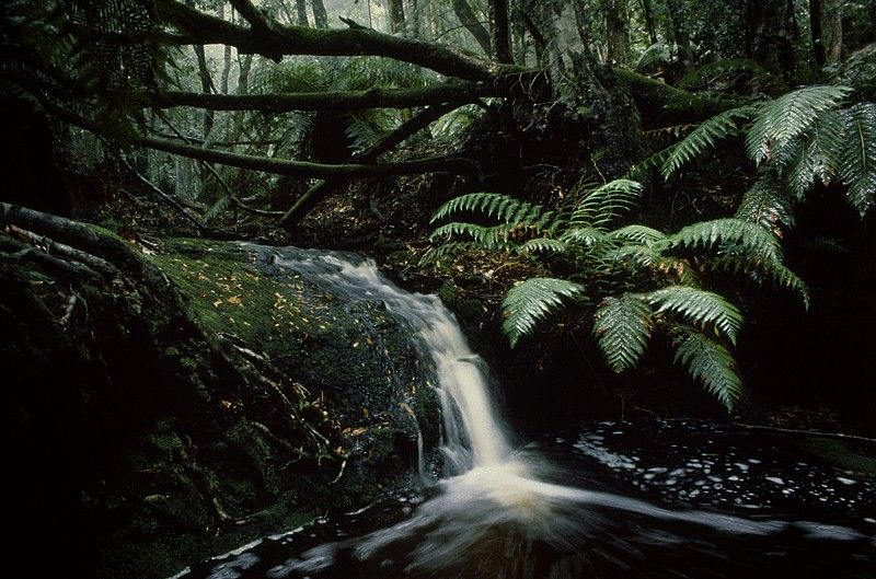
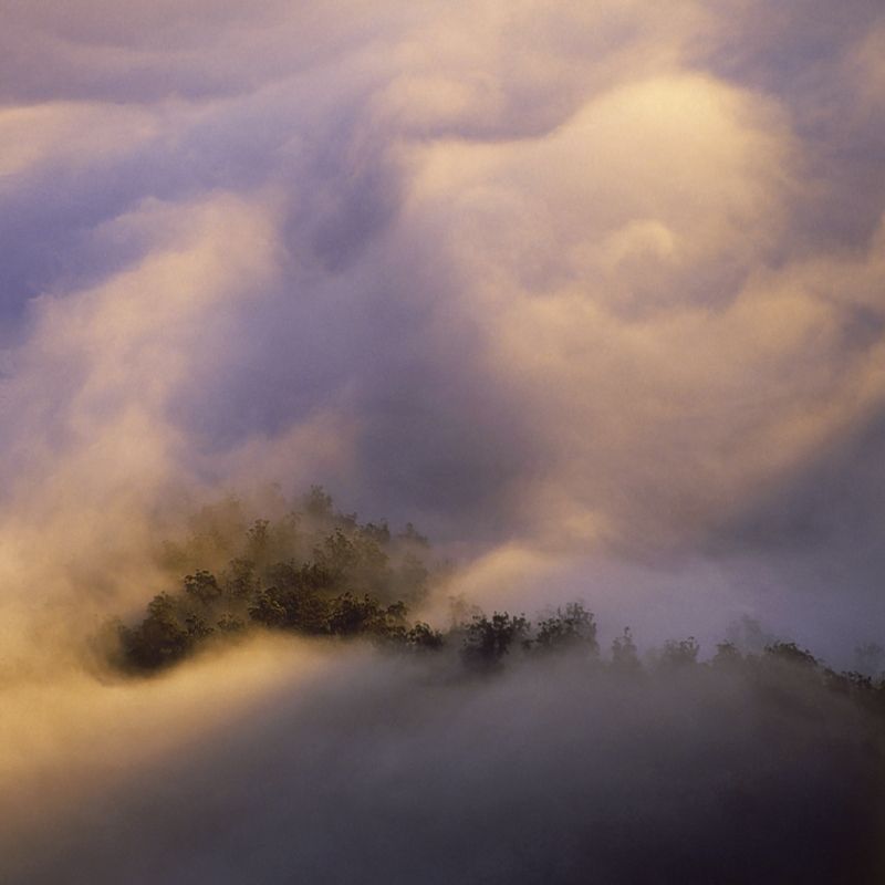
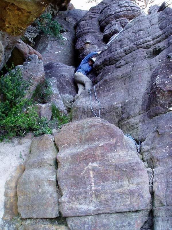
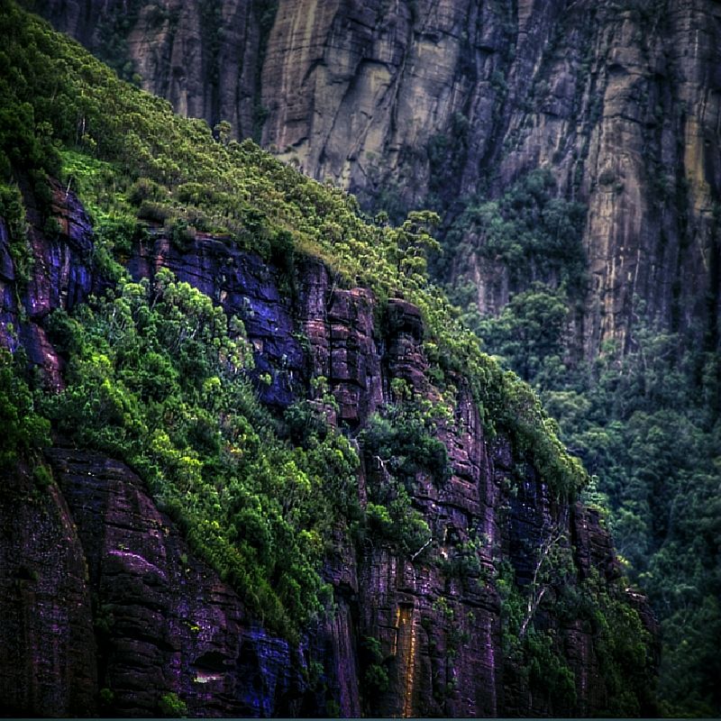
The Budawangs are often called the Floodawangs and the Misty Mountains. Moisture laden offshore winds cooling at the escarpment, can make a climb very interesting. When you are walking North after the first climb, if it is raining (like it so often does here) the waterfalls coming off the cliff line are refreshing, sparkling ... and the water hardly reaches the track because of the long drops.
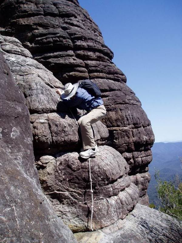
The first time I climbed The Castle it took me 4 1/2 days of searching because The Castle was basically trackless then. There was no park signage or use-wear on the rocks to describe the route, unlike there is today. The last ascent took me only 4 1/2 hours ... funny that!
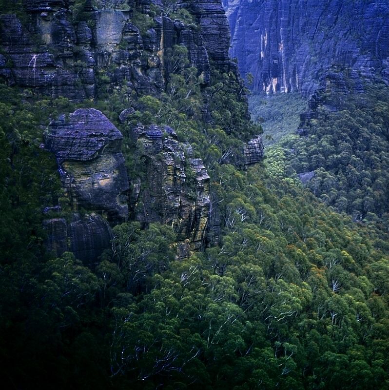
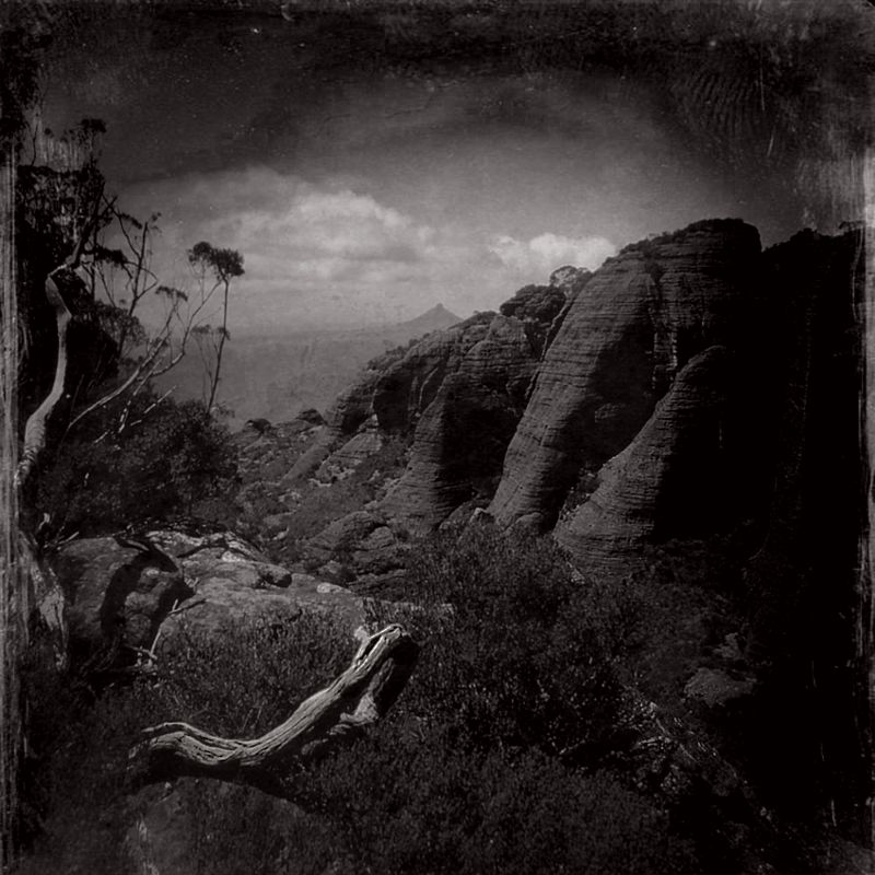
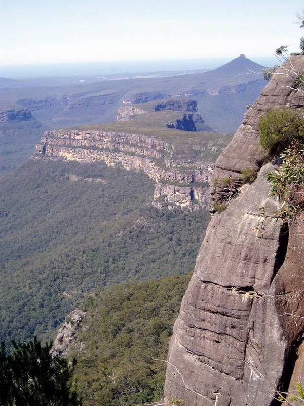
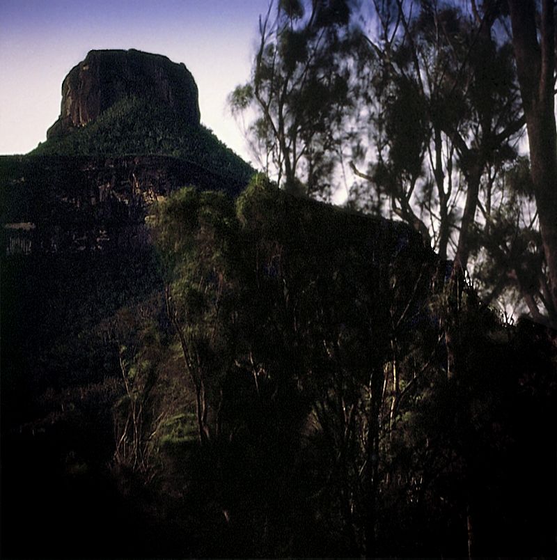
Pigeon House Hill and Byangee Walls shot from the first cliff, at the top of Kaliana Ridge.
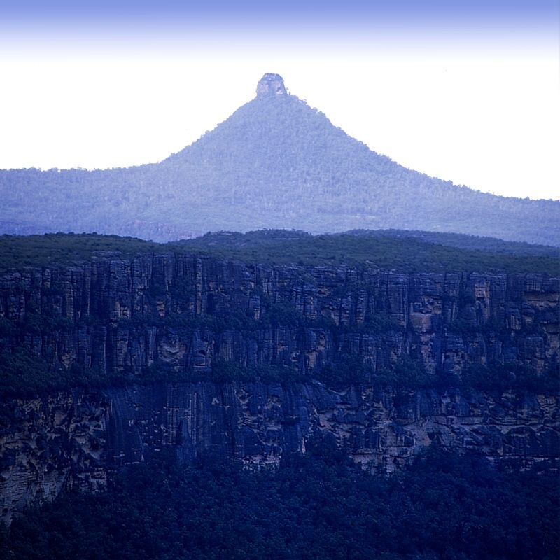
Then from the summit.
Warren.
Posts about places like Castle Mountain, Cardboard Castle hut, Ruined Castle, Hoddle's Castle Hill, Castle Crags, Castle Rock, Castle Forbes Bay, Rat's Castle and Eldon's Castle amongst others. There are several walkers who have mentioned that they are looking forward to climbing or visiting one of these Castles at some stage and many walkers here who have ... but I can't find a single image of 'The Castle' here on the Forum. Wanting to correct that oversight, enjoy a trip to 'The Castle' ... in the Budawangs.
'Low Clouds'. There are several approaches to The Castle, each has a different character. I particularly like the Southern approaches because of the smell of the pockets of rainforest found on the drive in to the Yadboro campsite.
Every now and again, glimpses of The Castle and the escarpment can be seen on the drive in.
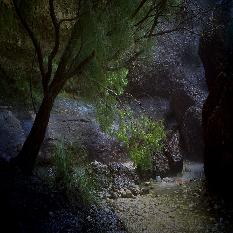
The pristine Yadboro River down stream from the start of the Kaliana Ridge climb and just beside the Yadboro River campsite. The Yadboro is a classic river, it has been known to rise 10 metres in 4 hours and go from several metres wide to 400 metres wide at the Yadboro campsite. I always park my car a bit up-hill. When the Yadboro floods it recedes as quickly as it can rise ... once it stops raining. I always take an extra day's food, even on a day walk.
At the top of Kaliana Ridge and the first of the climbs.
The Budawangs are often called the Floodawangs and the Misty Mountains. Moisture laden offshore winds cooling at the escarpment, can make a climb very interesting. When you are walking North after the first climb, if it is raining (like it so often does here) the waterfalls coming off the cliff line are refreshing, sparkling ... and the water hardly reaches the track because of the long drops.
The first time I climbed The Castle it took me 4 1/2 days of searching because The Castle was basically trackless then. There was no park signage or use-wear on the rocks to describe the route, unlike there is today. The last ascent took me only 4 1/2 hours ... funny that!
Pigeon House Hill and Byangee Walls shot from the first cliff, at the top of Kaliana Ridge.
Then from the summit.
Warren.